
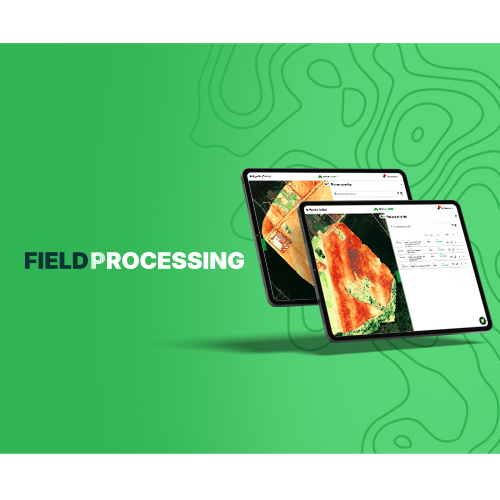
Tool for processing drone images and machinery vectors, the fastest and most complete on the market.
Process drone images and machinery vectors in a scalable way in the cloud.

Discover the advantages of Field Processing
-
Highly scalable cloud processing.
-
Process drone images and GPS data on a single platform.
-
Spatiotemporal organization of data and results.
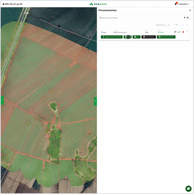
Data processing
Transform raw data into actionable information in a few clicks.
Orthomosaic
Transform raw images into detailed high-resolution maps.
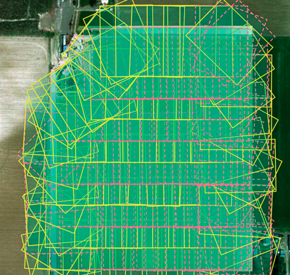
Machine GPS
Interpolate topographic surveys into digital elevation models.
Digital Elevation Model
Generate digital terrain and surface models based on data captured by drones or agricultural machine GPS.
Vegetation indices
Obtain NDVI, GLI, and VARI vegetation indices to analyze crop variability.
Online and Collaborative Visualization
Field Processing offers a user-friendly interface allowing users to interact with data simply and collaboratively.
Visualization
Access your maps from anywhere and on any device.
Map Sharing
Share your maps with organization members and work collaboratively.
Storage
Store your processed data and maintain a history of your mappings.
Download
Download processed data in a few clicks.
See the main features that Field Processing offers
Orthomosaic
DEM
DSM
Vegetation indices (VARI, NDVI, GLI)
Virtual contour lines
Machinery fleet registration
Customization of PDFs and reports
Item 8
Item 9
Escolha seu plano ideal
Arraste para o lado para conhecer